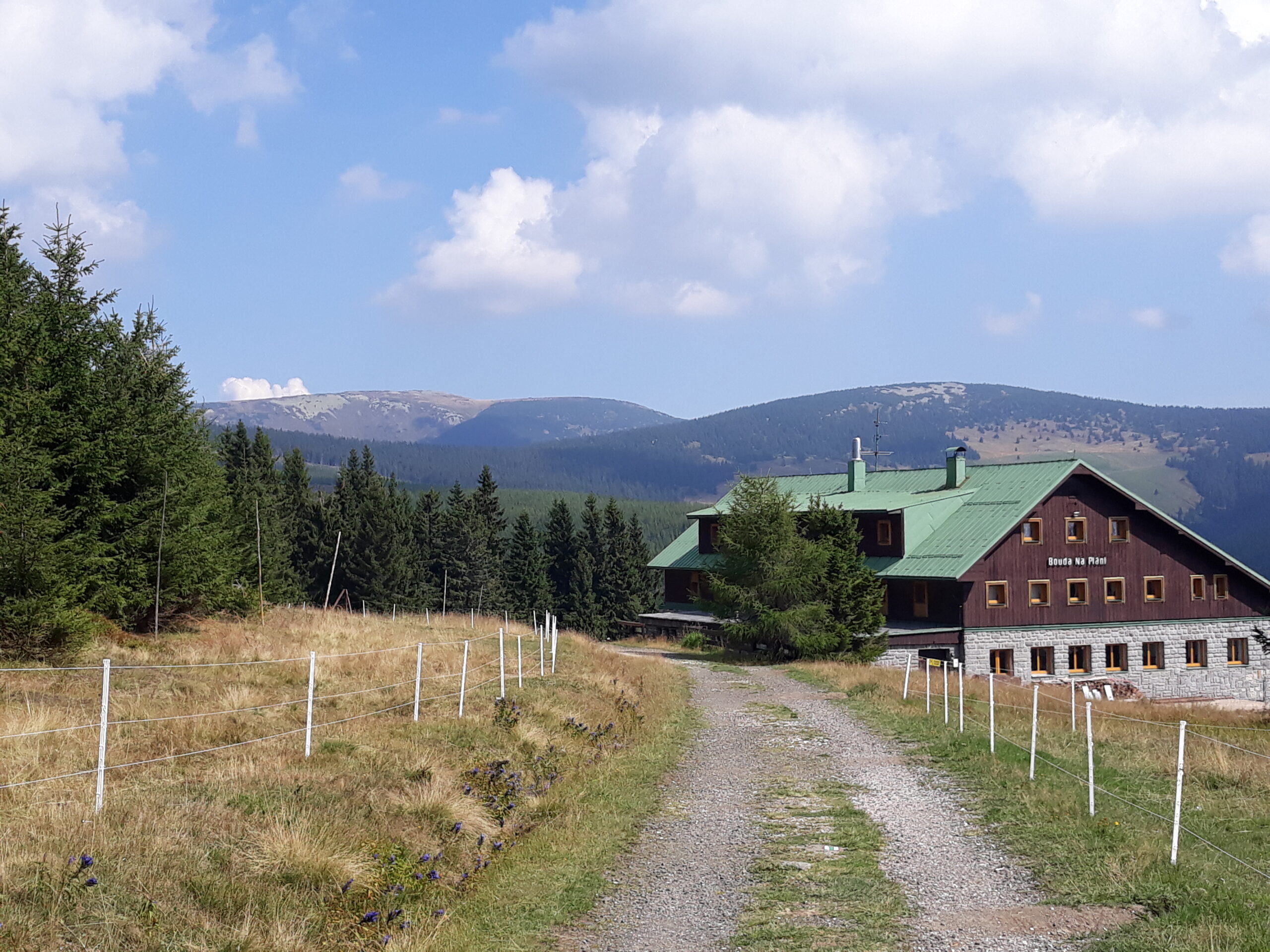
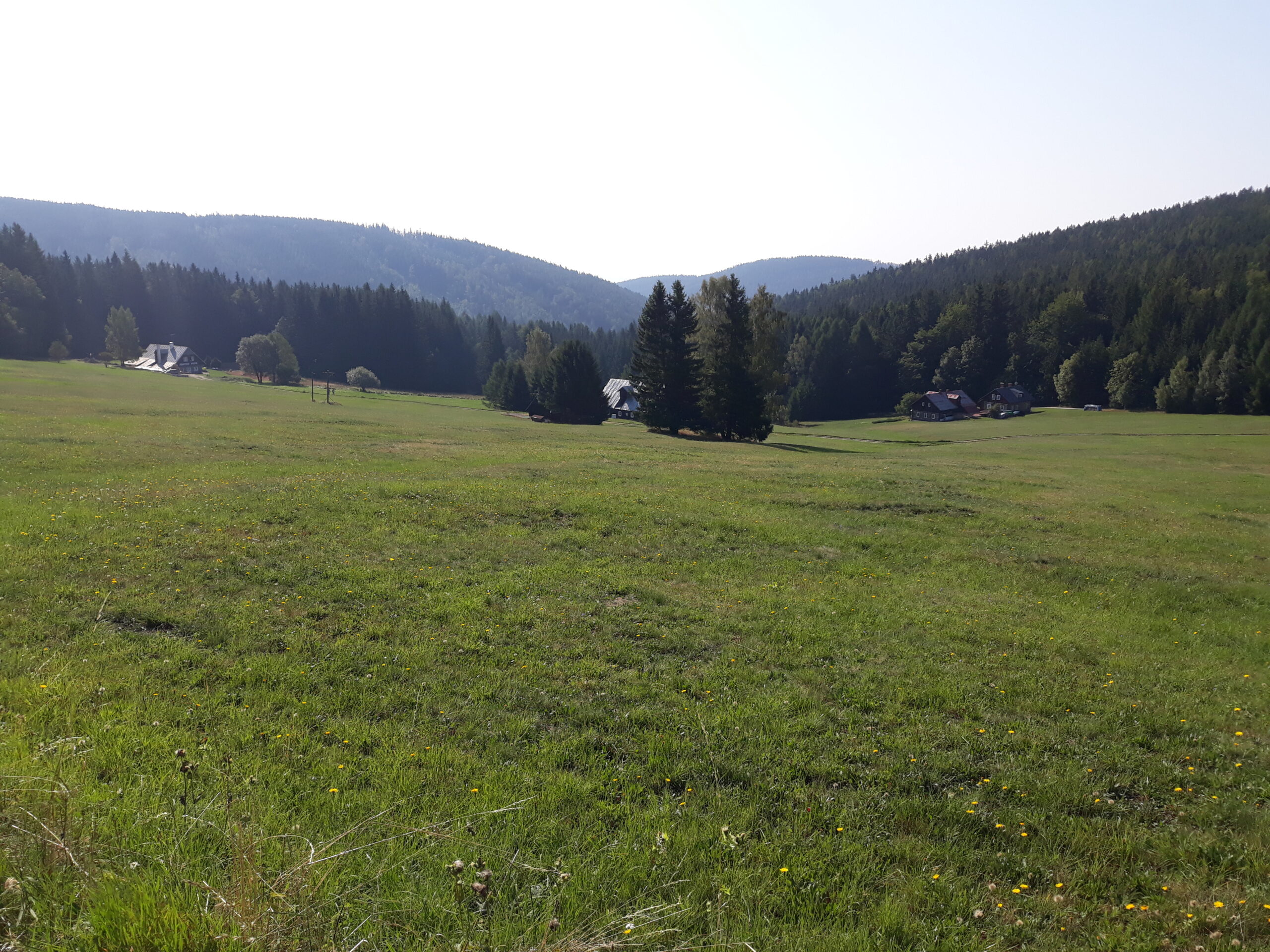
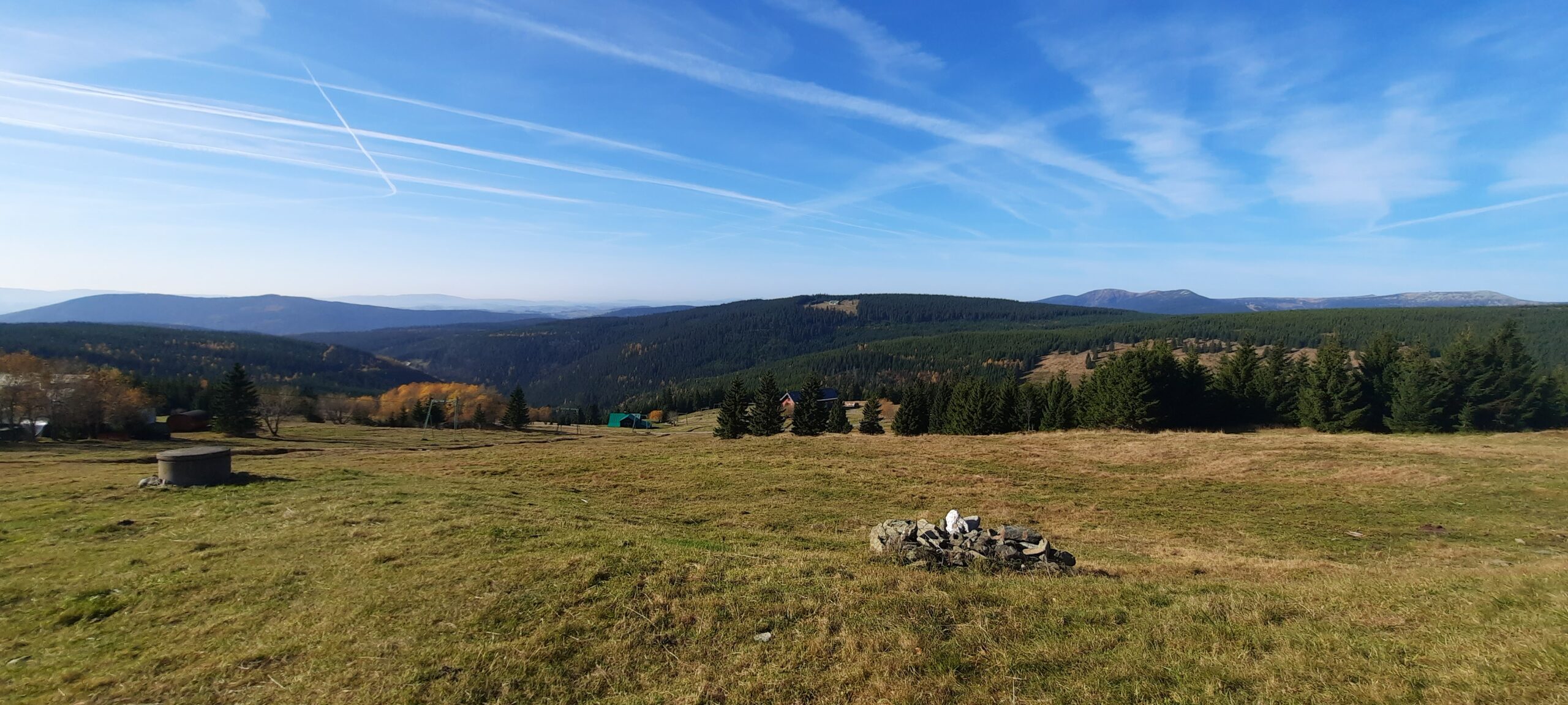
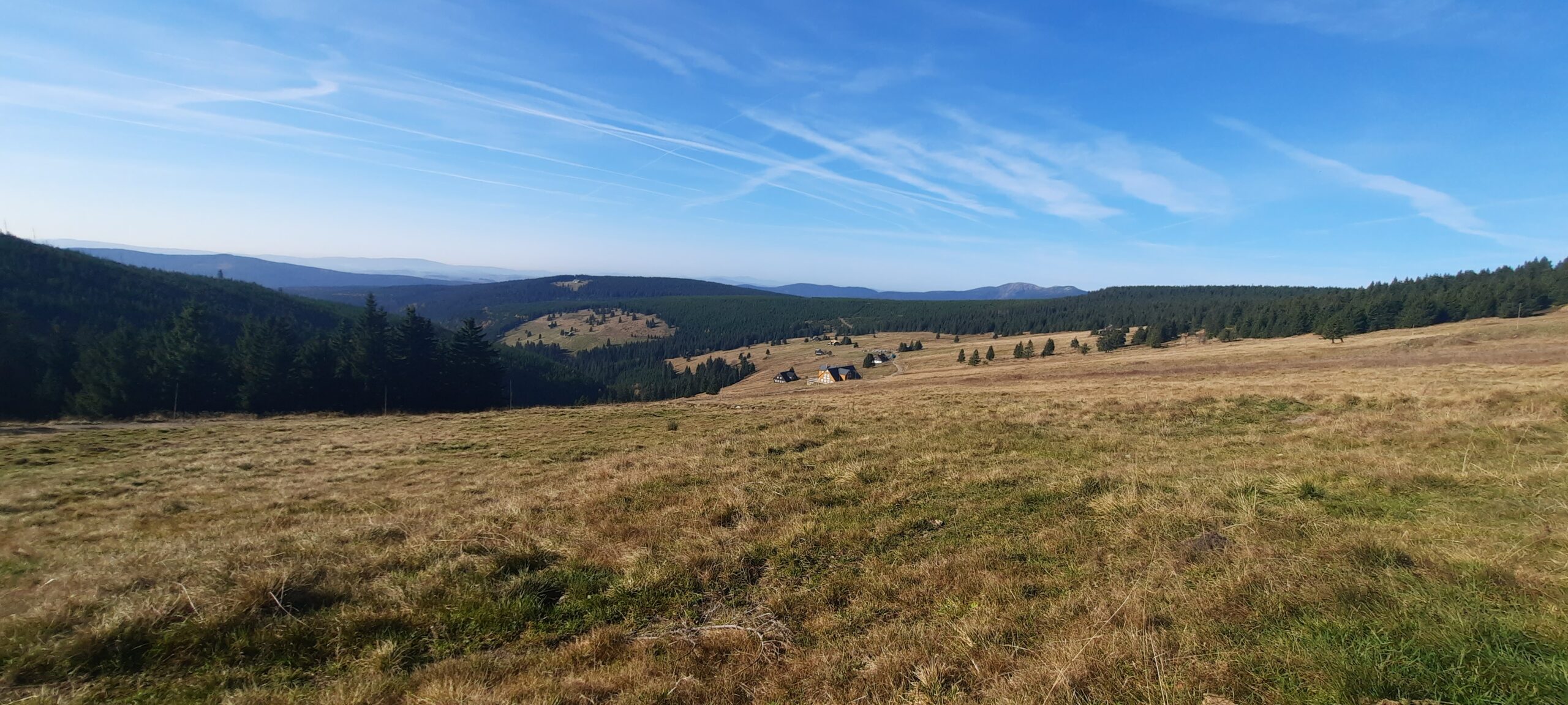
U Klínových bud - there used to be a village called Klínové Boudy, which was founded in the 16th century in connection with iron ore mining and had its own mayor. The names Klínové boudy and Klínový potok are said to derive from the historical production of wooden wedges used in the nearby mines. Cattle grazing and the processing of milk products were the livelihood of the inhabitants of the village. Klínova bouda used to be the highest point of the village. It was burnt down in 1970 and today there is a well and a tourist shelter.