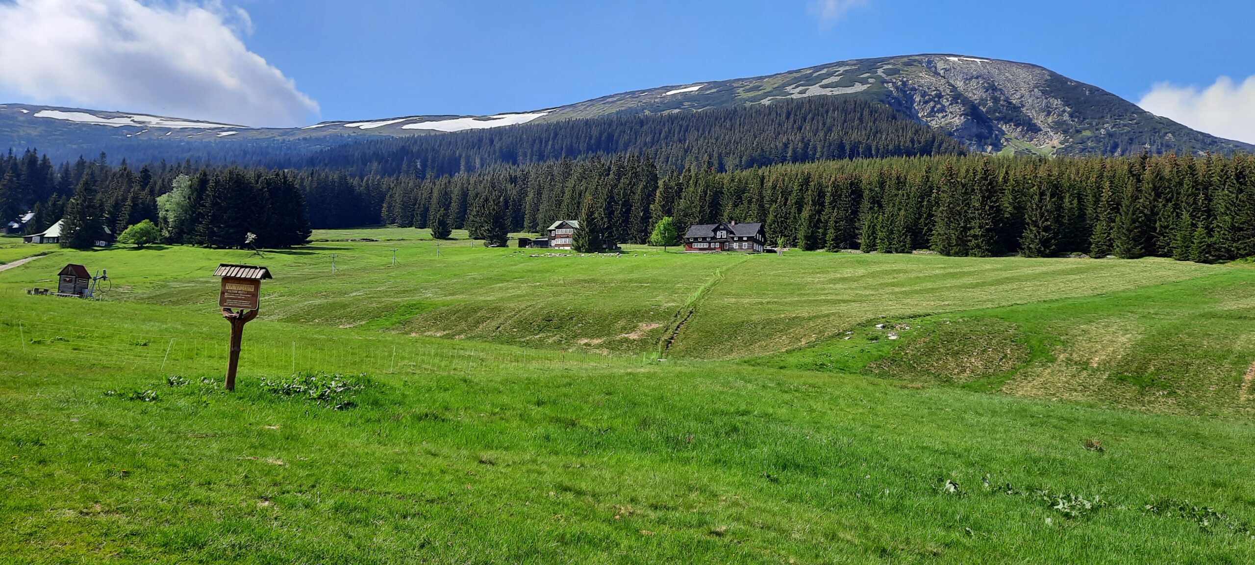
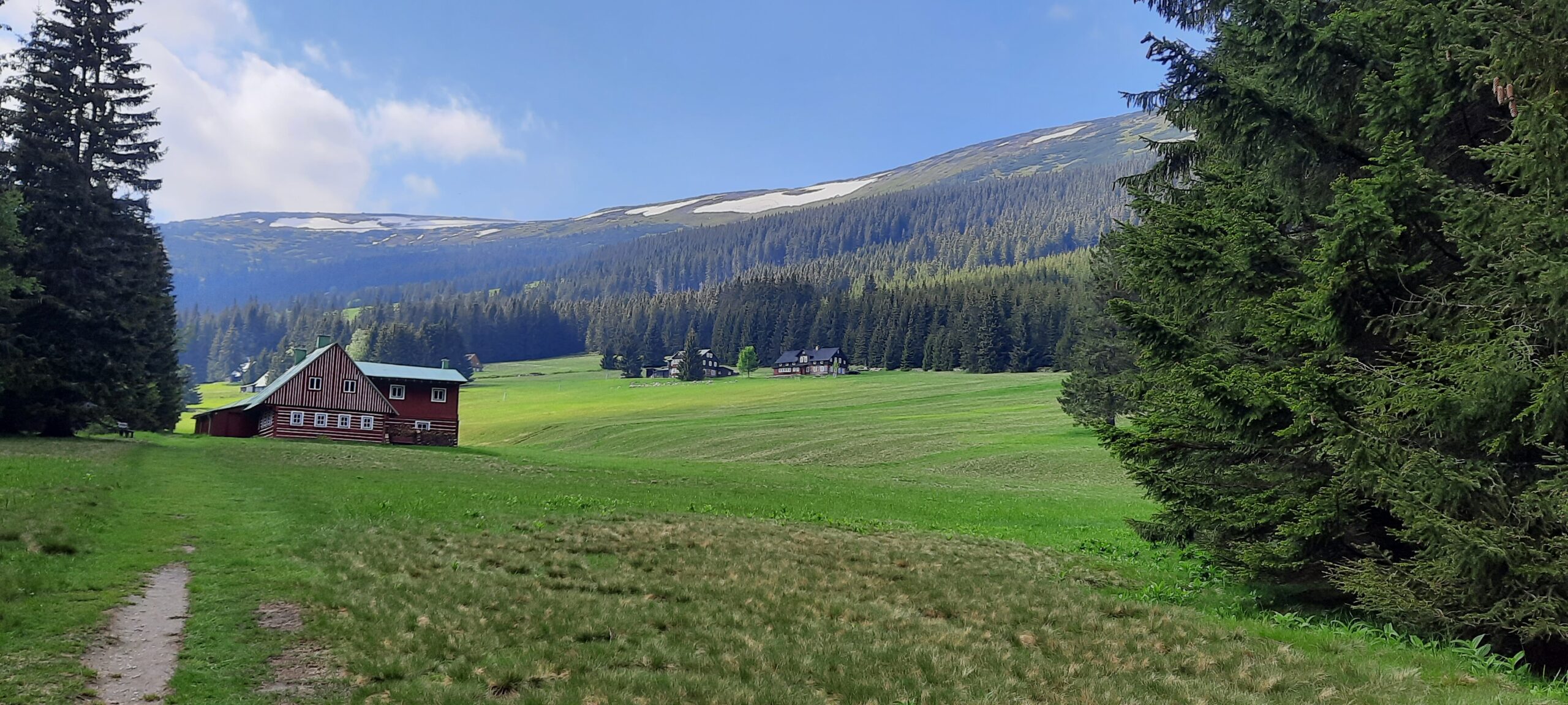
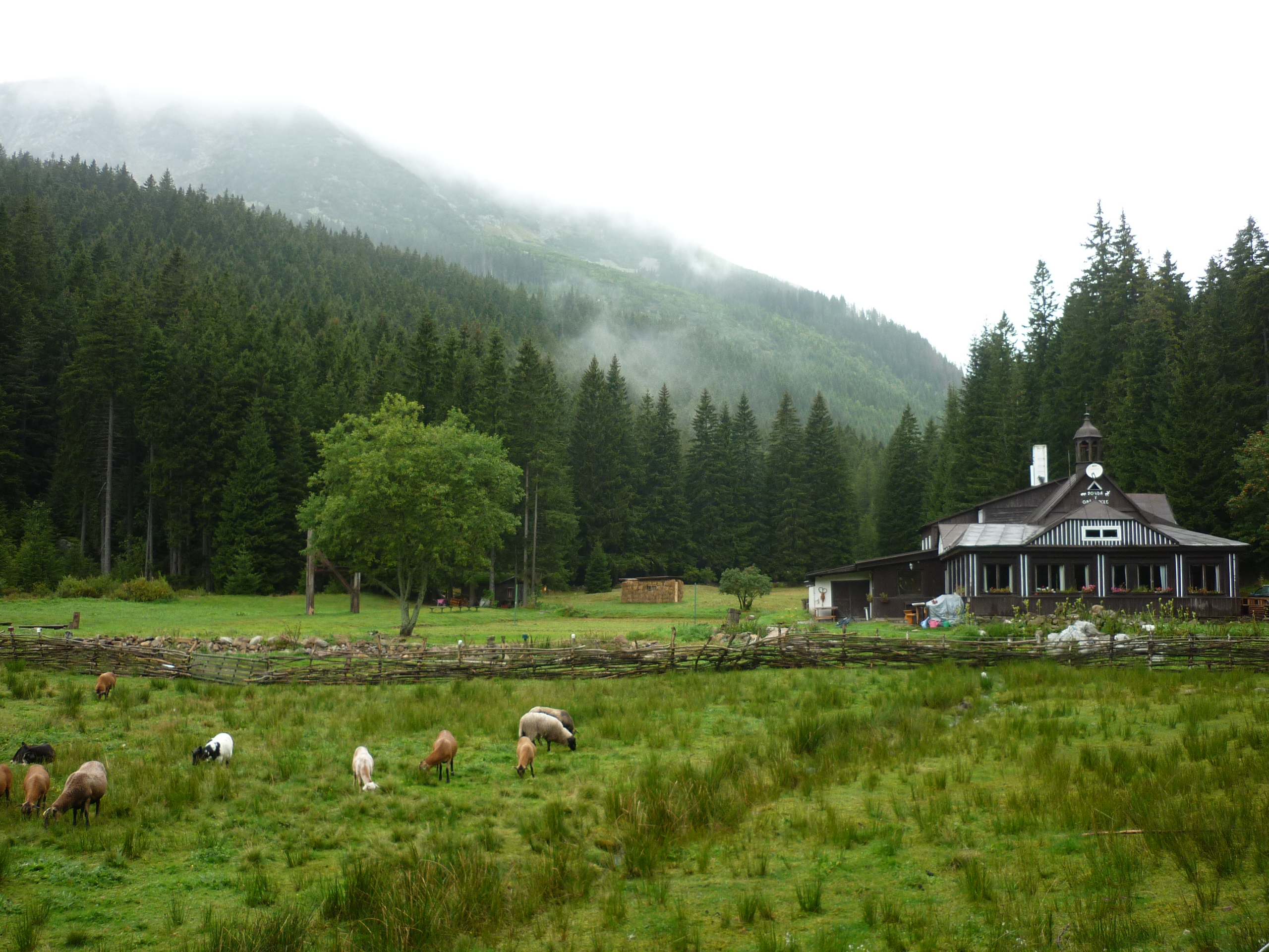
Modrý důl is an enclave meadow. It was established in the 17th and 18th centuries, mainly for woodcutting and cattle grazing. The settlement still represents a well-preserved complex of timbered folk architecture of the Krkonoše.
In spring, Modrý důl is typical of the remaining snow on the southern side of Studniční hora. This snow cover is called the map of the republic. The place got its name from the shape of the first Czechoslovak Republic with Podkarpatská Rus, with the gradual melting of the snow that eventually remained in the central part of Bohemia. The snow stays here for the longest time in the Krkonoše, sometimes until the summer months.